
Horizon City Neighbors by Block
A block search works from the physical parcel outward. First identify the target’s situs address, account, GeoID, and subdivision. Then compare the adjacent parcels in the county’s map layers and open the nearby accounts in the appraisal search. The result is a record of parcel relationships and recorded owners, not a current roster of Horizon City neighbors. A mailing address, a legal owner, a voter registration, and a past directory entry each answer a different question.
| Source | What it can show about a block | Access route |
|---|---|---|
| El Paso County GIS | Centerlines, subdivisions, precincts, facilities, and boundary context | Public GIS program page; direct parcel-click fields were not documented |
| EPCAD property roll | Account, GeoID, owner, and situs-style result rows | Public property search |
| County Clerk documents | Deed parties and legal-description context for a parcel | Official records index, then custodian copy route |
| County Elections | Individual registration and precinct context | Name, date-of-birth, or VUID match; no public block browse |
| Historical collections | Dated street, map, newspaper, or directory context | Library or archive research route |
The county GIS program maintains more than 100 geospatial layers, including centerlines, subdivisions, facilities, streetlights, and precinct maps. Use it with EPCAD to orient a block. An appraisal owner is not necessarily the person at the address, and no source here should be presented as a complete block list.
A map cannot prove a shared household, a current mailing address, or a person’s connection to every nearby lot. It shows spatial context. A parcel record supplies an account and recorded owner, while a deed index supplies a party and document relationship. Keep those distinctions visible when comparing parcels around a target address.
Horizon City Neighbor Parcel Search
The EPCAD Property Search accepts owner name, address, property ID, and GeoID. Its Advanced Search also accepts a street name without a number, subdivision, condo, and DBA entries, with display controls for tax year and sorting. Save the exact result identifiers before moving to nearby parcels. The accessible EPCAD result list showed account or ID, GeoID, owner, and address columns, but not the full parcel card or its mailing-address labels.
That gap matters. The situs address is the property’s physical address. The owner correspondence address can differ, and the displayed owner can be a legal entity. Start with the account or GeoID, not an assumption about the people who live nearby.
Note: EPCAD showed a 2027 work-in-progress context and an August 31, 2026 database update during inspection.
Horizon City Neighbor GIS Context
The El Paso County GIS program provides the map context for an address. Centerlines and subdivision layers help distinguish a street edge from a lot boundary. Precinct and county layers explain which records belong to county systems. EPCAD Open Government also links GIS material and downloads, but the direct parcel-viewer URL, map controls, and click-result schema were not exposed in the research. Do not claim a map feature that was not documented.
Horizon’s planning maps add subdivision, city-limit, annexation, lot-line, developed-area, and zoning context. They are planning references, not title records. Use a subdivision name such as Horizon Mesa, Desert Breeze, or Horizon Heights as a legal-description search term only after it appears in a map or parcel record.
The map can also show why a close-looking address is not part of the same block. Roads, rights-of-way, subdivision lines, annexed property, and unincorporated county land can split what appears to be one neighborhood. Compare the map layer with the EPCAD GeoID and the County Clerk legal description before grouping parcels together.
Map Horizon City Neighbors by Parcel
Use a repeatable flow: address to EPCAD account or GeoID, then GIS centerline and subdivision context, then adjacent parcel accounts, then recorded documents only where a legal-description question remains. The County Clerk index can be searched by subdivision, lot, block, unit, tract, deed name, style, and date. Its results are capped at 10 documents, so a narrow legal description is more useful than a broad street phrase.
- Search the exact address in EPCAD and record the GeoID, account, subdivision, and displayed owner.
- Use county GIS centerlines and subdivision layers to identify parcels that actually border the target. The direct parcel-click fields should be verified live before relying on them.
- Open each adjacent account in EPCAD and keep the owner and situs results separate from any inference about occupancy.
- Use the County Clerk legal-description search for a documented deed or boundary question. For a whole named street, move to the broader street method.
For the complete address chain along a named road, use the Horizon City street directory. This block method stays focused on the parcels immediately around one address.
For an older transfer, QuickLink supplies Historic Deed Index Books from 1874 through 1963. Its search modes include type, year, parties, last name, first name, and a separate book, volume, and page path. A document image may require an account or purchase, and the indexed party still does not establish present occupancy.
Horizon City Neighbor Community Layer
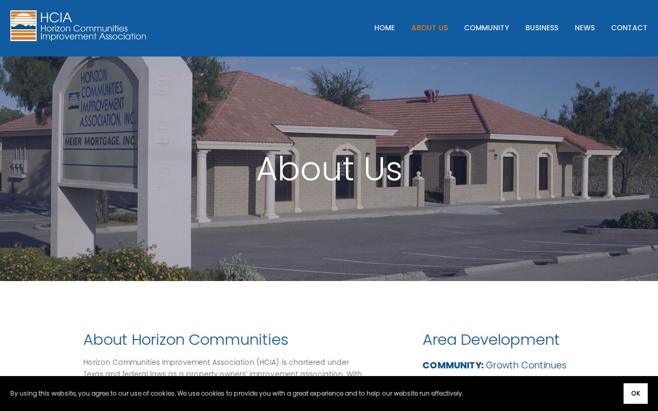
Horizon Communities, also called HCIA, is a private nonprofit property-owners improvement association. Its official information describes more than 25,000 local property owners from around the world, an elected board, newsletters, and contact through info@horizoncommunities.com. The board page and news archive can provide community-history context. No public member or address directory was located, so HCIA should not be asked to disclose private membership.
The Horizon Communities information page is the source for the community layer shown here.
Association news and board information can explain local context, but they are not a substitute for an official parcel record or a household list.
Horizon’s official FAQ also directs people to El Paso-area libraries and county offices. Those organizations can help with local history, a dated newspaper reference, or the right public office, without converting community participation into a public name-and-address list.
| Official parcel sources | Show record-specific identifiers, owner or document-party information, and access limits. |
|---|---|
| Commercial neighbor tools | May combine data from different dates and sources, so a match needs confirmation with the public custodian. |
| Community sources | Can provide history and public notices, but do not establish parcel ownership or current household membership. |
Horizon City Neighbors in Records
County Elections does not provide a public street-by-street browser. The individual dashboard takes first name, last name, and date of birth, with VUID noted as an alternative in county instructions. Countywide voter products use a separate request process and can carry address-bearing information subject to the applicable rules. A registration address and a voting history are not proof that a person shares a current household on a block.
For historical households, use Border Heritage, UTEP, UNT, EPCHS, or TSLAC with a street, name, and year. The Border Heritage collection holds local newspapers and serials, maps, school yearbooks, census and vital material, city directories, and genealogy publications. A directory or newspaper item is a dated association with an address, not a current record.
El Paso directories can be important because early material predates Horizon City’s municipal identity. Check surname forms, initials, spouse or parent clues, and the street guide for the specific year. The Census public-record schedule is also time-bound: 1950 is the latest public individual census record, while 1960 is scheduled for release in April 2032.
Horizon City Block Boundary Changes
Horizon City developed while unincorporated, began development in 1962, and incorporated in 1988. The comprehensive plan identifies annexation references dated April 13, 1999 and August 14, 2001. A parcel can therefore have a county deed trail and an older locality label even when it sits in today’s city limits. Preserve the legal description and subdivision name when comparing old and current records.
Postal, Census, city-limit, appraisal, and GIS boundaries are not interchangeable. Horizon’s FAQ says the town has no post office, so a mailing-location result is not a municipal record. The city’s official plan map is useful for the municipal and subdivision context, while EPCAD supplies the parcel identifiers.
Use USPS only to validate a deliverable address and ZIP. It does not confirm owner, occupant, city limits, or block membership. A physical address may remain familiar while the record’s subdivision, postal, county, or municipal label changes across time.
For existing municipal permits, planning materials, or code records, no public Horizon name index was located. A written request should name the address, parcel identifier when known, department, record type, and date range. That is more precise than asking for a household list or a map-based conclusion.
Horizon City Neighbors and Privacy
Parcel adjacency cannot prove that people share a household, and ownership cannot prove occupancy. Texas voter records also carry protected fields and address-suppression rules. The Texas Attorney General Address Confidentiality Program gives qualifying participants a substitute mailing address, and the Secretary of State describes additional voter-address protections. Sealed court material, vital eligibility rules, and other statutory limits can also remove data that a block search might otherwise expect.
Keep public records in their proper context. Do not copy protected information, try to bypass suppression, or treat a map result as a reason for unwanted contact. When a record needs correction or a privacy remedy, use the office that created it. The appropriate route may be a custodian request, voter suppression procedure, statutory redaction request, or ACP participation.
When a result is incomplete, that may reflect a lawful protection rather than a search error. Preserve the gap, identify the custodian, and avoid filling it with guesses about the block. That restraint protects people and records. Record types, dates, and custodian rules should travel with every block note.
Lawful use. Use Horizon City neighbor records for personal, lawful research, local history, civic context, or scam verification. Do not use them to watch, stalk, harass, threaten, or intimidate anyone.