
Find a Horizon City Street Directory
There is no single public roll that names every person on a street. The useful route joins separate records: the physical address in the appraisal roll, the owner or account identifier shown there, the County Clerk's recorded-document index, the election office's individual registration match or written request process, and historical directory material when the question is about an earlier period. The result can distinguish a parcel owner, a recorded party, a registered voter, or a historic address reference. Those labels are not interchangeable.
- Check the exact physical address with USPS, then search it in EPCAD. Save the displayed account number, GeoID, subdivision, and owner name.
- Use the owner name and legal-description terms in the County Clerk's Official Public Records search. Narrow the date range if the search returns too much.
- Read the latest recorded conveyance, then work backward through prior parties. Match the lot, block, unit, tract, or other legal description before treating two records as the same parcel.
- For a registration question, use the Elections dashboard only with the required individual match information, or follow its separate written process for an eligible county product.
- Compare an older address with El Paso-area directories, maps, census schedules, newspapers, or deeds. A historical entry documents a moment, not continuous occupancy.
That order keeps the address trail testable. It also prevents an owner name, a deed party, or an old directory entry from being presented as a current occupant.
Read a Horizon City Street Address
One Horizon City location can carry five useful labels. USPS supplies the postal address and delivery ZIP. EPCAD uses the situs address, meaning the physical parcel address. The County Clerk works with a legal description such as subdivision, lot, block, unit, tract, book, or page. County Elections works from a protected registration address and precinct. Historic sources may use a rural route, a subdivision name, an earlier street spelling, or an El Paso designation.
When a street search fails, preserve each version instead of forcing a match. The legal description is often the bridge because it can remain useful even when an address string changes. A public property result may show an owner and a street-facing address, while the detailed mailing label was not visible in the research inspection. That is a reason to verify the parcel record rather than infer where someone receives mail.
- Parcel
- A defined piece of land used in the appraisal system. Its account or GeoID helps distinguish similar street addresses.
- Situs address
- The physical location of the property. It is different from an owner's mailing address.
- Plat
- A recorded map that lays out lots, blocks, streets, or subdivision boundaries.
- Criss-cross directory
- A reverse directory arranged by address. A complete local year inventory was not located, so verify each volume before relying on it.
Search Horizon City Streets in EPCAD
EPCAD Property Search is the parcel-first starting point for a Horizon City address. It offers owner name, address, property ID, and GeoID routes. The advanced screen accepts either a number and street name or a street name alone, which is useful when checking a stretch of road. It also offers subdivision and result-display controls. EPCAD cautions that building and land detail may not be available before 2013, and the visible result list should be treated as a property lead rather than a statement of current residence.
| EPCAD field | Type | Required | Format or use |
|---|---|---|---|
| Owner Name | Text | No | LastName FirstName or surname only in advanced search. |
| Address | Text | No | StreetNumber StreetName or street name. |
| Property ID | Text | No | Advanced placeholder: XXXXXX. |
| Geographic ID | Text | No | Advanced placeholder: XXXXXXXXXXXXXXX. |
| Subdivision / Condo | Dropdown | No | Options did not render in the static inspection. |
| Doing Business As | Text | No | Advanced search field. |
| Tax Year / Type | Dropdown | No | Result-display controls; live options should be checked. |
| Sort and results controls | Dropdown | No | Control the returned list. |
The EPCAD Open Government page is the source for the following view of its open-data and GIS resources.
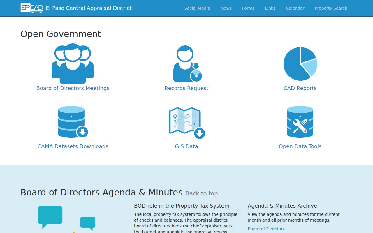
Those downloads include deeds, owners, properties, rolls, tax jurisdictions, and GIS-related material, but a download is not a public roster of current occupants. GIS data may also be requested through open records, potentially at cost.
Use Horizon City Street Layers
El Paso County GIS provides the map context that a parcel search lacks. The county says it maintains more than 100 geospatial layers and identifies centerlines, subdivisions, county facilities, streetlights, and commissioner precincts among its public layers. Compare a road centerline and subdivision boundary with the address and legal description before assuming nearby map labels refer to the same tract.
The county GIS page did not expose a direct public parcel-viewer URL or a documented click-result schema. EPCAD remains the parcel-first path. Map layers are useful for orientation, adjacency, and boundary checks, but they are not a title record or proof that a person lives at a location.
The county GIS page is the source for this layer overview.
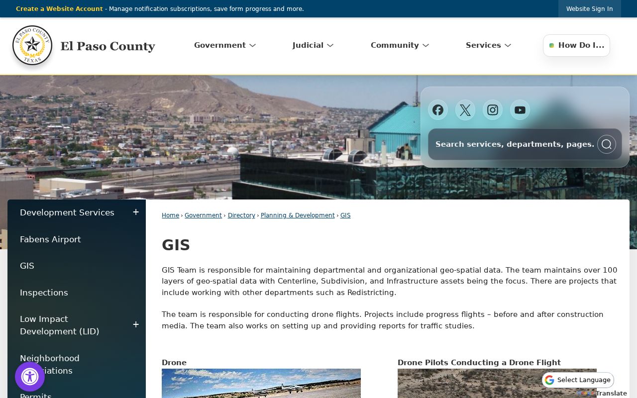
Use the map's centerline and subdivision context to refine a parcel search, then return to EPCAD and the County Clerk for the account and recorded-document records.
Horizon City Records by Street
Each address-keyed source answers a narrower question. The appraisal roll ties a physical parcel to an account and owner result. The Recorder's index tracks instruments against a legal description. Elections has an individual registration match and a separate written request path, not a public street browse. Town departments can hold municipal records, but an online permit, code, planning, or municipal-court name index was not located in the official pages inspected.
| Address record | Custodian | What it can establish | Access path |
|---|---|---|---|
| Property roll | EPCAD | Account, GeoID, owner/address result, tax-year context | Owner, address, Property ID, or GeoID search |
| GIS layers | El Paso County GIS | Centerlines, subdivisions, and boundary context | County GIS page and EPCAD GIS link |
| Recorded instruments | El Paso County Clerk | Deed, easement, lien, restriction, map, or other indexed instrument | Current Official Public Records or historic books |
| Voter information | El Paso County Elections | Individual registration match or a requested county product | Dashboard or separate written request |
| Town-held activity | Horizon departments | Existing permit, inspection, code, planning, agenda, or ordinance material | Department request or Texas Public Information Act request |
Use the property roll to identify the parcel and the Clerk index to identify recorded instruments. The systems describe different parts of the same address trail and should not be merged into one resident record.
Note: The custodian, date, and address type should stay attached to every result, especially where a county service area extends beyond Horizon City limits.
Trace Horizon City Deeds by Address
Official Public Records is the current County Clerk route. It accepts an 11-digit document number, deed name, subdivision, style, book and page, lot, block, unit, tract, and file-date range. Results are capped at 10 documents, so a broad street query needs narrowing by legal description, date, or document style. A deed is one kind of recorded instrument. A deed of trust, release, easement, restriction, map, or affidavit may also appear and should not be treated as a sale.
- Copy the EPCAD account, GeoID, subdivision, and displayed owner name.
- Search the Clerk portal using the subdivision and lot, block, unit, or tract fields. Add a narrow date range when needed.
- Record the latest conveyance style, document number, date, book/page, and indexed parties, then test the prior party against the same legal description.
- For the earlier chain, use the Historic Deed Index QuickLink, which covers 1874 through 1963 and offers index-book and book, volume, page paths.
- Confirm a material match with the linked image or a County Clerk certified copy. Index hits are leads and do not replace title work.
The Recording Division counter is at 500 E San Antonio Ave, Suite 105, El Paso, with posted weekday hours of 8:00 a.m. to 5:00 p.m. It remains the route for certified copies and records not exposed in the same online search.
Horizon City Street Directory Time Gaps
The historic books reach from 1874 through 1963, while documented Horizon development began in 1962 and incorporation followed in 1988. That contrast matters. A deep land chain may describe land before it carried a Horizon City identity. The Historic Deed Index offers 24-hour remote access and linked document view or purchase, with an account required to purchase. Its Deed of Trust series is described as under construction.
The current portal and historic books are separate systems. The current portal's online start date was not located, and its ten-result cap requires a focused search. Older records can be indexed, scanned, handwritten, reindexed, or still best accessed through the clerk counter. That mix reflects the county's digitization and restoration work, not a promise that every image will be online.
Horizon City Voter Records by Street
El Paso County Elections supplies an individual "Am I Registered?" path with first name, last name, and date of birth. Older county instructions also identify VUID as an alternate route where offered. A match can show registration-related detail, precinct officials, voting history described as 2015 to present, sample-ballot information, and countywide vote-center information. It is not a public street-by-street roster.
The Elections office separately handles countywide voter files, participating-voter lists, election lists, voter history, registration certificates, maps, and related requests. The request page describes an address-bearing county file under specific rules and delivery choices. Texas also allows residential-address web suppression and has extra protections for listed individuals, DPS Alternate Address participants, and Address Confidentiality Program participants. Keep ballot choices out of the analysis because they are secret.
Note: A registration match concerns election administration, and it should not be used as proof that a person currently occupies a particular parcel.
Horizon City Permit Records by Address
Municipal activity follows a different access channel. Building Services or other Town departments may hold existing permits, inspection records, code material, planning applications, agendas, or ordinances associated with an address or parcel identifier. No online Horizon permit, code, planning-case, or municipal-court name-search index was located in the official sources inspected. The absence of a public portal does not mean the record never existed.
Give the department the exact address, subdivision or parcel identifier when known, the date range, and the type of existing record sought. For city-held records not available through a department channel, the documented fallback is a written request under the Texas Public Information Act. County deeds and EPCAD results remain separate from municipal files.
Horizon City Streets and Annexation
Horizon planning material records annexation references dated April 13, 1999, under Ordinance No. 0081, and August 14, 2001, under Ordinance No. 0095. The official zoning map also shows city limits, subdivision boundaries, annexed property, lot lines, developed and undeveloped areas, rights-of-way, and zoning districts. Use it to compare municipal context over time, not to establish ownership.
Subdivision names can be stronger search keys than a broad city label. Horizon Mesa, Horizon Heights, Desert Breeze, Piemonte Village, Horizon Country Club Estates, Horizon Manor, Rancho Desierto Bello, Horizon View Estates, Torrey Pines Estates, and Emerald Park are named in planning material. Enter a verified subdivision term in EPCAD or the Clerk portal, then confirm its legal description. Street Name and Addresses Ordinance No. 00107 is a lead to local address standards, but no citywide renumbering date was verified.
Horizon City Addresses Before Incorporation
A street directory question can become a regional-history question. Horizon began as an unincorporated development in 1962, so older county deeds, maps, directories, census schedules, and newspaper material may use El Paso-area, rural, subdivision, or postal labels. The latest public individual census is 1950, released in 2022; 1960 is scheduled for release in 2032. It cannot serve as a current or 1970 Horizon list.
For a past household, test the address, subdivision, and name against the source's own date and label. EPCHS holds city directories from 1886 through 2011 alongside maps, school annuals, newspapers, and digitized photographs, though the exact reverse-directory years should be confirmed. The historical volumes are covered more fully in the Horizon City directory collections.
Horizon City Street Directory Boundaries
A street directory can tie together official address records, but it cannot turn parcel ownership, deed parties, or an old directory line into a full household list. USPS validates delivery, not ownership or city limits. EPCAD is parcel-centered. County elections has protected information and no public street browse. A map layer supplies context, not a resident certification. Where the source is limited, keep the limit in the final note.
For a material record, ask the office that created it for the image, copy, or explanation of the field. That keeps a Horizon City street result connected to its real custodian and date.
Lawful use. Horizon City address records are for personal, lawful research. Do not use a street search to stalk, harass, intimidate, or harm anyone.